~ See Calendar page for more information. ~
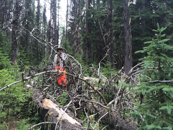
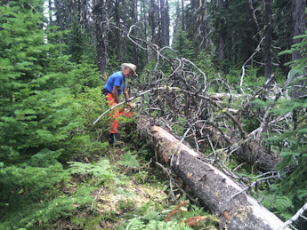
Red Ives Annual Work Party and Campout
This is the work done every year at Red Ives work party as part
of a work agreement with the U.S. Forest Service.
Bottom left photo is Jim Kimball and bottom right photo is President Jerry Shriner from PBCH.